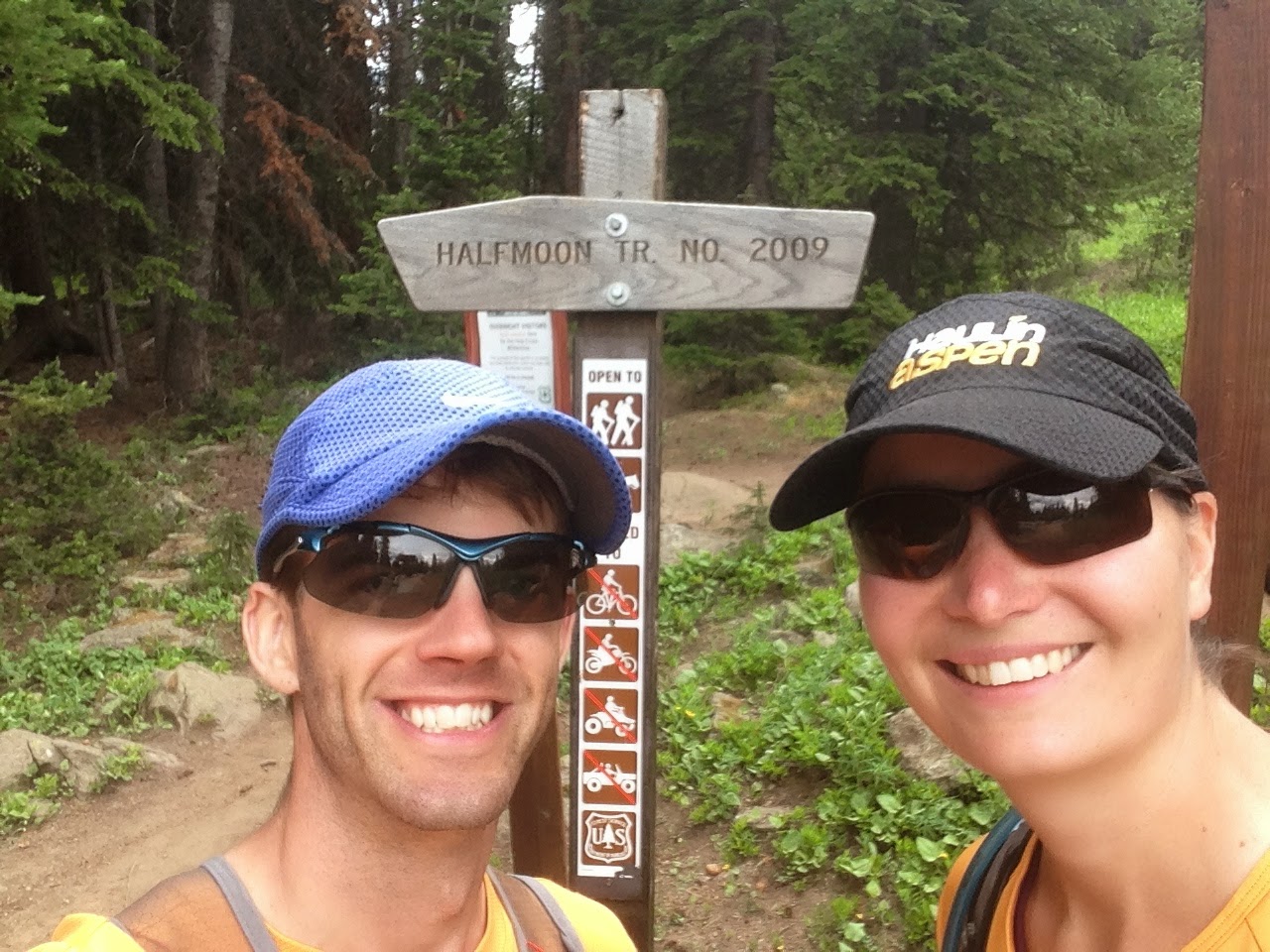
I suppose many couples, if given the night away, would go to a fancy hotel and do something romantic. Sleep in, snuggle, eat fancy food, sleep again, get a massage.... But not us. Although sleeping did sound appealing, we opted to do the opposite of sleeping, and go for a very challenging hike.
 |
| Mt of the Holy Cross |
Initially we thought we would hike Longs Peak, the famous 14er not far from us that is pictured on the Colorado quarter. But Longs still has more snow than I'm ready to take on, and we looked for another 14er to summit.
Mt of the Holy Cross is a bit isolated, is a long hike, and is beautiful. We weren't very well organized for the hike until 2 nights before, when Jason started reading trip reports and looking at maps. He suggested making the route into a loop, rather than an out-and-back. But the loop route, called the Halo Ridge route, was very intimidating to me. A total of over 15 miles, with a huge chunk of the hike above 12,000ft, with 3 other 13,000ft peaks to traverse up and over en route. Once up on the ridge, one needs to move along and watch the weather closely. We have thunderstorms in the mountains most days in July, and this route leaves you exposed for miles - not a good place to be in a lightning storm. I cautiously said yes to the loop choice, and wondered if I could keep up with Jason's pace and his fitness.
So Tues night we drove to Vail, then south past Minturn, then west toward the Holy Cross Wilderness. We arrived at the trailhead at about 9:45pm and slept in the car.
We woke at 3:30am. We took a while getting ready (I had to pump) and left with headlamps at 4:30am. Unlike my spouse, I don't regularly don a headlamp to exercise on trails in the dark. But it was quite fun. We had read about some creek crossings ahead. Between being chilly and nervous, we ran a little for the first mile or so, and then the sun started to appear. The creek crossings were no big deal at all, thank goodness.
 |
| Notch Mountain |
At the top of the switchbacks, we reached the Notch mountain shelter and the view of Mt of the Holy Cross. The shelter was very solid - a totally reasonable place to hunker down in a storm or spend the night. The 'cross' of snow was visible from the shelter, which was a huge advantage of going around this loop route. The 'standard' route up and down the North side of the mountain does not allow you to see the cross of snow that you can see from this South side. Even this hike up to the Notch mountain shelter and back down would be a totally great hike in itself. The shelter was built in the 1930s, and thousands of religious pilgrims used to make the trek each year.
 |
| '13er' one and '13er' two visible ahead of us |
We pushed on, slowly making our way through the boulders, up to the top of our first 13er (unnamed Pt 13248 - creative!). I was moving slowly, but wouldn't say my headache was too bad. The down and up to the top of the next 13er (Pt 13373) was a very steep ascent with some route finding over huge rocks. The views from each of these summits was amazing - turquoise glacial lakes on either side with mountains galore all around. One of the most beautiful places I've ever been. From the second 13er to the third, we had read about a narrow ridge crossing that was only 6 feet wide. I was imagining major exposure and wind and crying in fear... but it was totally fine.
 |
| The 6 foot wide section of the ridge and me making fun of it |
The climb up the 3rd 13er (Pt 13831) was tiring. My headache was gone and felt strong, relatively speaking, but it was hard to go fast as I needed to stop and catch my breath often. There were many false summits but eventually we made it to the top. Then we pushed on to descend and traverse around some snow before making our last climb up to the top. I was pretty exhausted by all of this already, but also relieved because I knew we would make it to the summit safely.
We got to the summit just before 12 noon, and stayed a while to enjoy the view and eat.
Then we had to descend down the North 'standard' route, which we were very glad we did not climb up. The view from that side seemed like it would never change and it would feel long and tough. We tried to run some bits down, but my quads complained quite a bit.
Then we hit treeline and it started feeling very hot. It felt like we hiked for a very long time before we finally hit a creek and were able to get wet to cool off, and fill water again. Unfortunately, the mosquitos at the creek were horrible, and we did not linger.
 |
| Mount Jackson across the valley |
We drove to Silverthorne, had a bite to eat, then drove home to get the girls. Jason napped in the car for the last hour. We were spent. The girls had done a great job (mostly) on their sleepover, and we were so thankful to our friends who watched them.
We got home, showered, put the girls to bed, and said goodbye. Jason left for the airport, and caught a red-eye flight to Virginia to go see family and help his mom with some stuff at her house.
I would really recommend this hike to anyone, because it was so gorgeous. However, I know we were very lucky with the weather. It was probably the most challenging hike I've ever done, and we were both spent by the end. Many people do it as an overnight backpacking trip, but I wouldn't recommend camping near the mosquito creek and I wouldn't want to take a backpack over those 13ers.
This was my 5th and Jason's 15th mountain summit in Colorado over 14,000ft. I plan to do at least 2 more this year. But this one was the most lovely and most challenging so far.
Thanks, mountains!


